1) "Triangulated Irregular Network (TIN)
Representation Quality as a Function of Source Data Resolution and
Polygon Budget Constraints", Proceedings of SPIE (The Society of
Photo-Optical Instrumentation Engineers) AeroSense, Integrating
Photogrammetric Techniques with Scene Analysis and Machine Vision
III, SPIE, vol 3072, pp. 199-210, April, 1997.
2) "Measuring Simulated Natural Environment Terrain
Fidelity", Proceedings, 1997 Distributed Simulation Symposium, pp.
1-11, September, 1997, paper 97F-SIW-022
This paper was chosen to be among the selection of (10)
papers on the recommended reading list for the MIT Lincoln Labs
1997 Fall Simulation Interoperability Workshop. Furthermore, it
was ranked #3 on the list.
3) "Developing a Point Selection Strategy for Elevation Data
Modeling in Synthetic Environments", Proceedings, 1997 IEEE
International Conference on Systems, Man, and Cybernetics, IEEE
press, Vol. 3, pp. 2794-2799, Oct, 1997. ISBN #
0-7803-4053-1
4) "Automating Error Detection and Correction in Synthetic
Environments", Proceedings, Simulation Interoperability Workshop,
Fall 1998, paper 98F-SIW-087
This paper was chosen to be among the selection of (10)
papers on the recommended reading list for the MIT Lincoln Labs
1998 Fall Simulation Interoperability Workshop.
5) "C2 (Command and Control) Experiments", IDA Document
D-2194, Sept 1998
6) "Distributed Simualtion-Based Situational Awareness
Experiments", IDA Document D-2409
7) "Searching for Functional Equivalence Classes in
Environmental Data ",Proceedings, Simulation Interoperability
Workshop, Fall 1999, paper 99F-SIW-108.
8) "Verification and Validation (V&V) of Federation Synthetic
Natural Environments", Proceedings, I/ITSEC, November 2001.
This paper was chosen as the best paper at the conference in
the area of Modeling and Simulation.
9) "Towards the Production of Syntactically and Semantically
Correct synthetic Environment Databases", Proceedings, Simulation
Interoperability Workshop, Spring 2003, paper 03S-SIW-018
This paper was chosen to be among the selection of (10)
papers on the recommended reading list for the MIT Lincoln Labs
2003 Spring Simulation Interoperability Workshop.
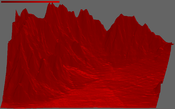
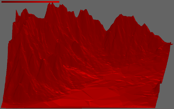
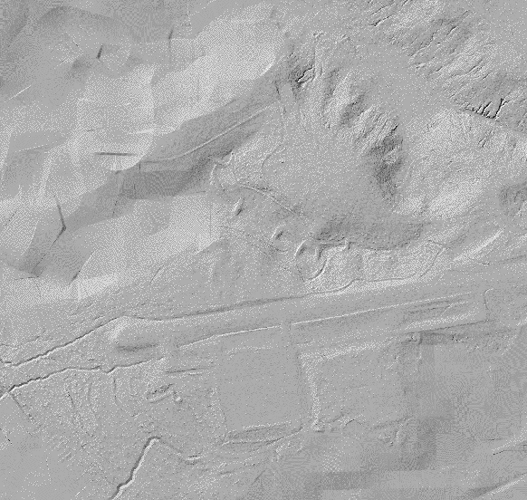
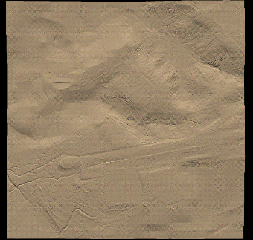
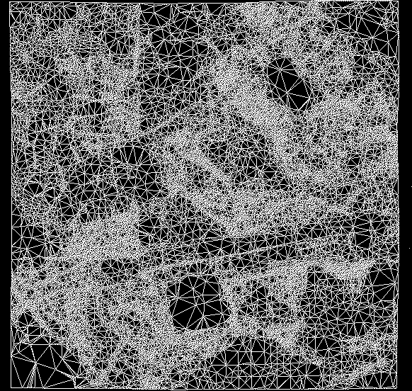
A TIN is a structure which is created from a DEM.
Imagine now that your backyard is Texas. You thus may
have millions, billions, or even trillions of elevation points you
thus need to collect. If you wanted to store 1 trillion
elevation points you may consume over a Terabyte of storage on your
computer! Since most people do not have a Terabyte of available
storage, people have been thinking of ways to minimize storage
restraints. The easiest way to reduce your storage is to
collect data at a sparser resolution. That is, instead of
collecting a data point every 1 foot, you may want to collect one
every 1 mile.
Currently, the state of the art for DEM creation is 1 meter.
A 1 meter resolution DEM can take up a ton of space and consume
a lot of memory to process. So, TINning becomes important.
TINning is an effort to use the information stored in dense
resolution grids, without the dense resolution. The
basic TIN process involves:
1) Obtain a DEM.
2) Transform the DEM into
a set of triangles.
The transformation may take many forms, but the general idea is
that the set of triangles output from a TIN creation program contains
fewer number of verticies than was in the DEM. In the
above example, the number of verticies (data points) has
been cut in half.